

Reliable, clear topographic maps for 4x4 and hiking — with or without signal.
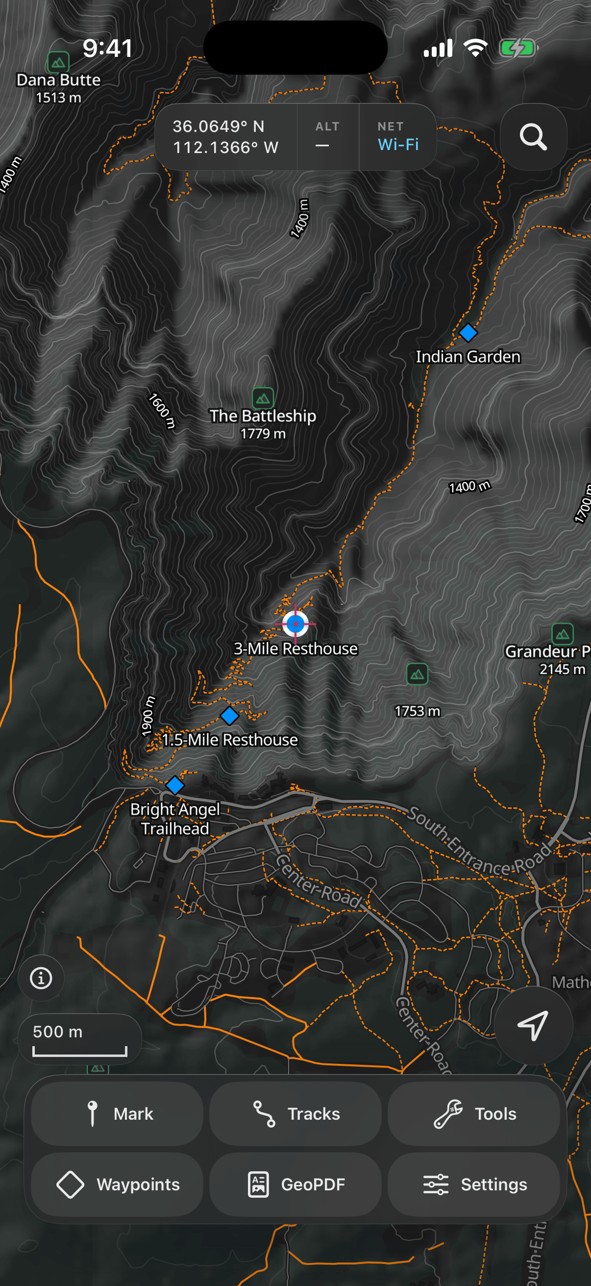
Contour lines with labelled heights, shaded relief that makes ridges and valleys readable at a glance, trails, and named peaks and huts. A world map ships inside the app, and any region you download keeps its full detail in airplane mode.
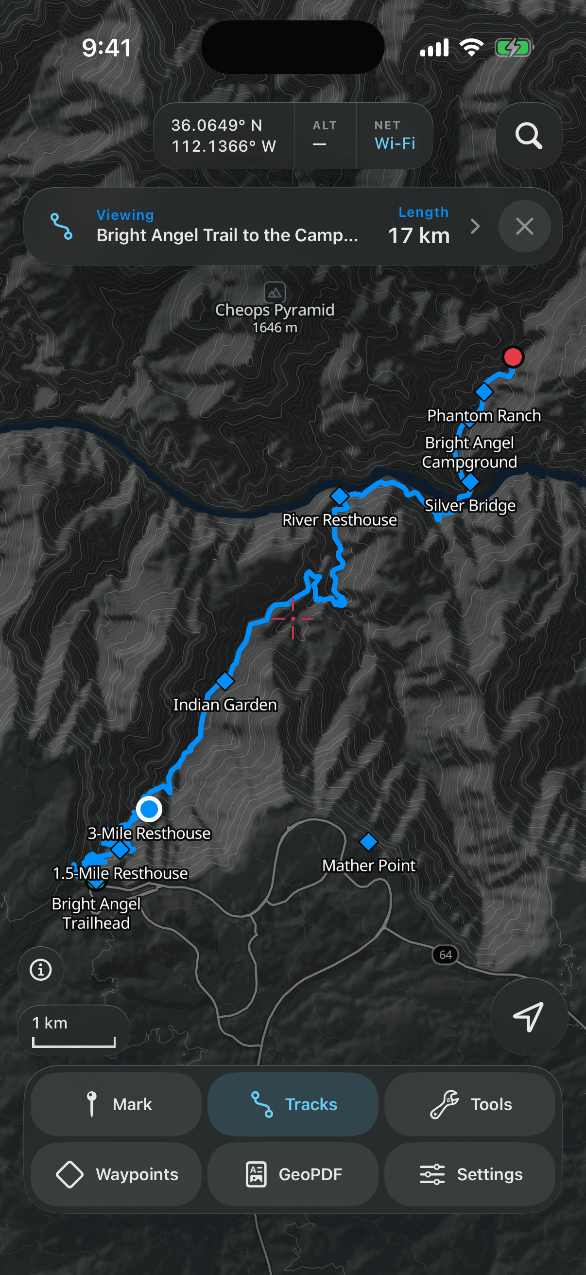
One tap starts a track that keeps recording with the phone locked. Afterwards see the route, distance, time, pace per kilometre, and an elevation profile with highest, lowest, gain and loss — then scrub along it to see where you were.
Drop a waypoint at your position or anywhere on the map, in decimal degrees, DMS or MGRS. Tap one to go to it: a line on the map, the range, and a compass arrow keep you pointed the right way.
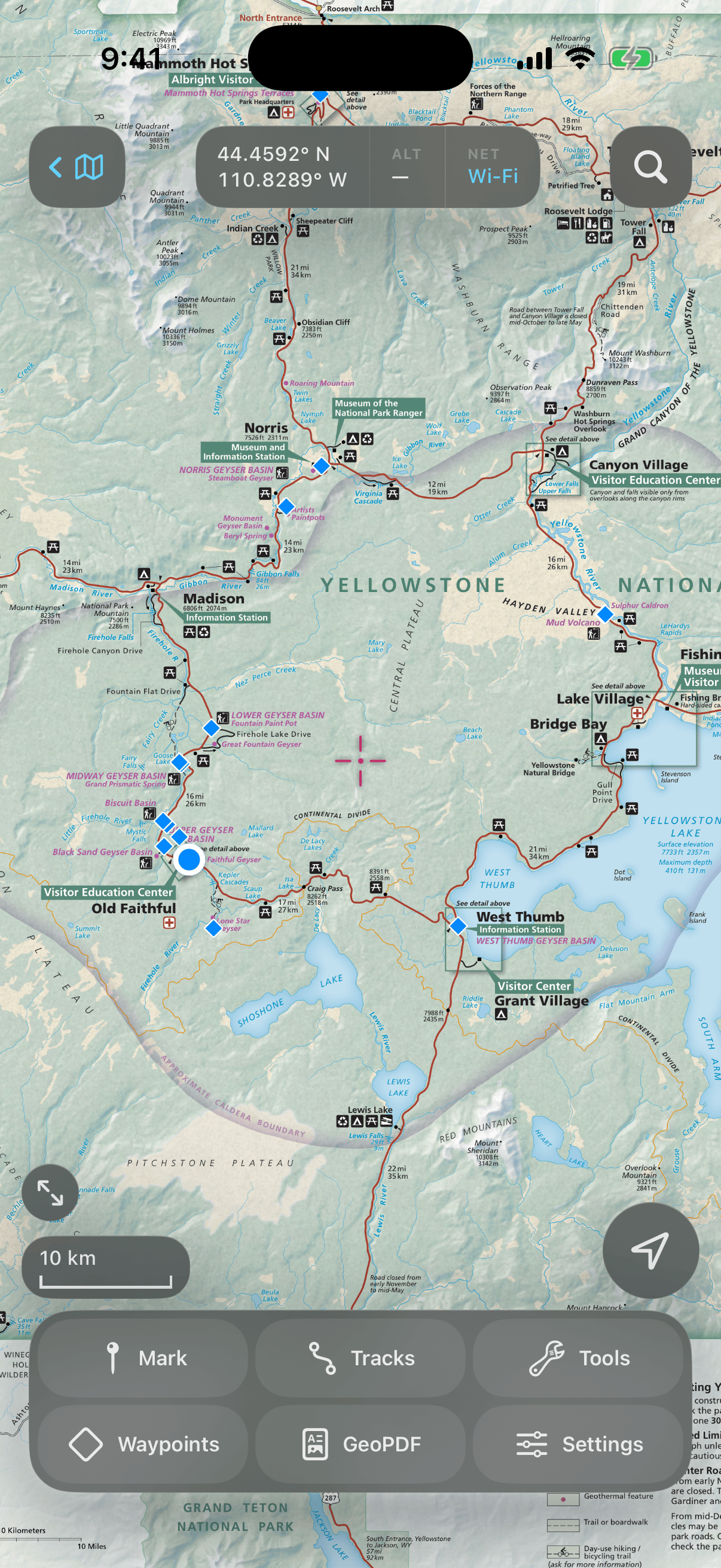
Import a GeoPDF or GeoTIFF — a park map, a topo sheet, a printed plan — and see your position, waypoints and tracks drawn on it exactly where they are. The sheet is shown as its maker drew it, legend and all.
Metric or imperial, and coordinates in whichever format your map uses. Search finds places by name — with a database of place names built in, so it still works when you have no signal.
Topograph is a subscription: one week free, then a weekly or annual plan. Cancel any time in iOS Settings. Your waypoints and tracks stay on your phone, and the maps keep working with no signal.